Progress, Problems and Possibilities of GIS in the South Caucasus
This article first appeared in ISAW Newsletter 14, Winter 2016.
Workshop, organized by Karen S. Rubinson, Research Associate
May 6-7
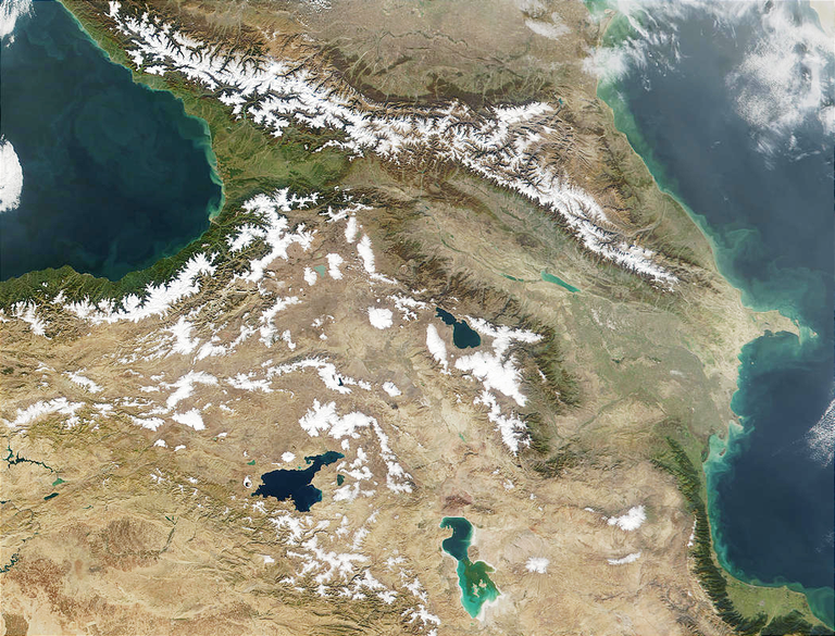 Caucasus Mountains. Photo courtesy of Jacques Descloitres, MODIS Land Rapid Response Team, NASA/GSFC
This workshop will convene archaeologists working in Armenia, Azerbaijan and Georgia to assess and improve the application of Geographic Information System (GIS) technology in archaeological research in the South Caucasus through presentations of current projects and discussions on the state of the technology. GIS involves computing-based mapping tools that allow the study of landscape use through time and space. It has become indispensable for managing and analyzing large spatial datasets, resulting in significant contributions to our study of the past. Digital data can help researchers visualize and interpret past settlement and land use patterns and develop interactive databases of cultural heritage resources. A major goal of the workshop is to establish shared guidelines for data recording that create cross-border compatibility, creating a common platform to more efficiently model broad regional developments characteristic for much of the area’s past. The workshop organizer welcomes proposals for papers from scholars working on relevant GIS and South Caucasus-related topics. Attendance at the workshop will be limited to those selected to participate. Please note that the workshop will not be open to the general public.
Caucasus Mountains. Photo courtesy of Jacques Descloitres, MODIS Land Rapid Response Team, NASA/GSFC
This workshop will convene archaeologists working in Armenia, Azerbaijan and Georgia to assess and improve the application of Geographic Information System (GIS) technology in archaeological research in the South Caucasus through presentations of current projects and discussions on the state of the technology. GIS involves computing-based mapping tools that allow the study of landscape use through time and space. It has become indispensable for managing and analyzing large spatial datasets, resulting in significant contributions to our study of the past. Digital data can help researchers visualize and interpret past settlement and land use patterns and develop interactive databases of cultural heritage resources. A major goal of the workshop is to establish shared guidelines for data recording that create cross-border compatibility, creating a common platform to more efficiently model broad regional developments characteristic for much of the area’s past. The workshop organizer welcomes proposals for papers from scholars working on relevant GIS and South Caucasus-related topics. Attendance at the workshop will be limited to those selected to participate. Please note that the workshop will not be open to the general public.