Archaeological Investigations in Southern Armenia
From 23 July to 25 August, 2015, a joint team from the Institute of Archaeology, Armenian Academy of the Sciences, and ISAW under the direction of Mkrtich Zardaryan and Dan Potts conducted an archaeological survey in the Syunik province of southern Armenia. Working out of a basecamp on the outskirts of Sissian, the survey focused on the highlands of this under-investigated part of Armenia. In addition to numerous sites with Middle Bronze Age chamber tombs, an interesting site dating to the early and mid-1st millennium BC, complete with diagnostic Achaemenid pottery and a ‘Scythian’-style bronze arrowhead was identified at Ashotavan. Situated on the edge of an artificial lake associated with a hydro-power station, Ashotavan had clear signs of both an ancient settlement and tombs. Iron Age sites with monumental walls of unworked stone, often perched on the edges of steep-sided ravines, were also a feature of the region. At least one example of such a site was located on a heavily forested mountainside near Halidzor on the road leading south towards the mediaeval monastic complex at Tatev. Other monastic sites visited included Tanahat (where an important Urartian inscription was found in 1975 carved on a re-used Armenian gravestone or khatchkar), Vahanavank and Vorotnavank.
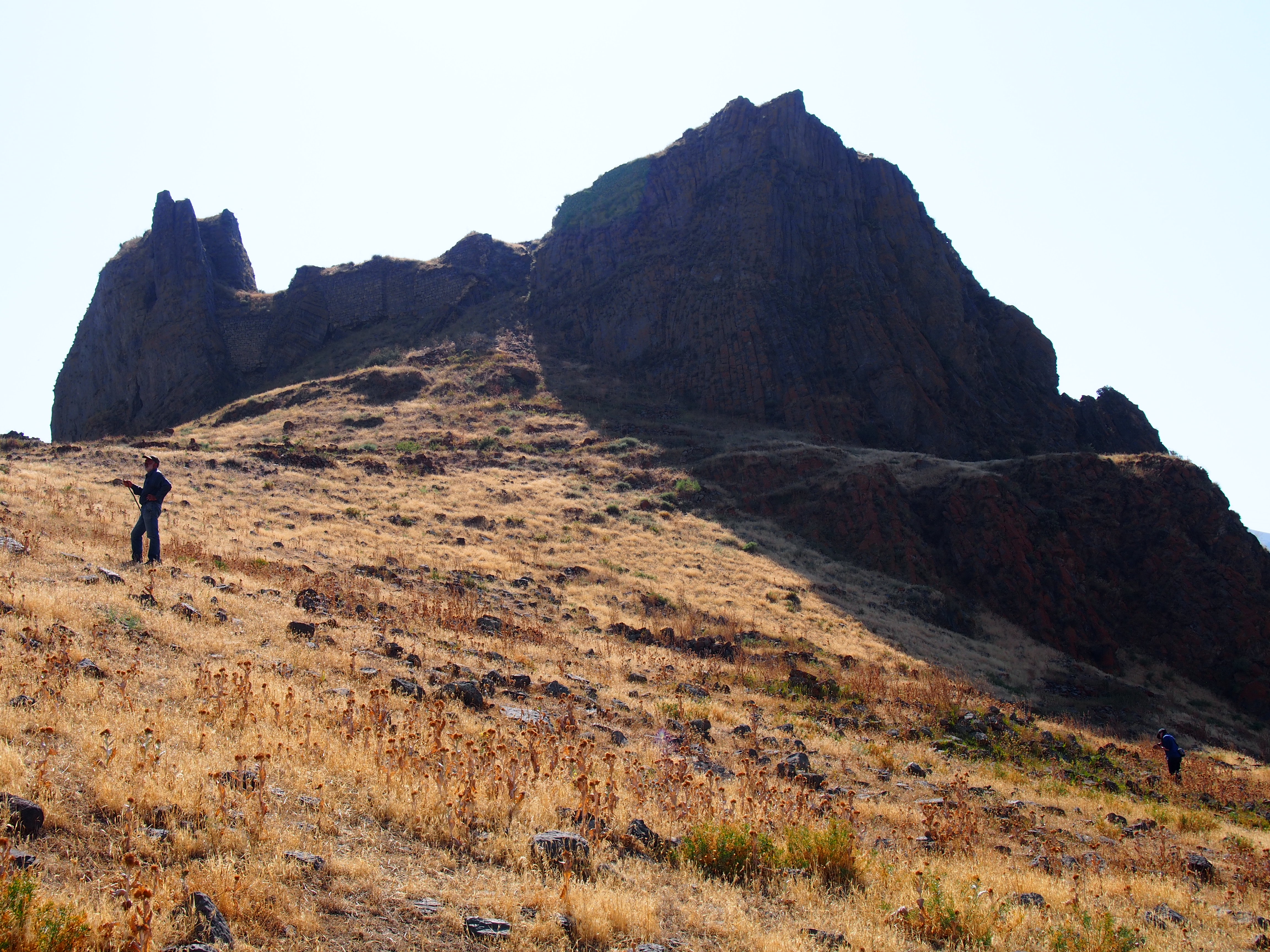
A view of the late Antique/mediaeval fortress of Vorotnaberd.
Summer is not the best time to do fieldwork in Syunik, both because of the heat, which was sometimes extreme, and the vegetation ground cover. Large swathes of the survey area were under cultivation and those that were not were often covered with bushes and spikey grasses. Nevertheless, in an area where most architecture was constructed of stone, walls and tombs were documented across the region, even if relatively few fragments of pottery, in comparison with the Near East, were usually associated with them, making dating difficult. To gain a different perspective on the sites found, however, we often deployed a not so secret weapon in the form of a DJI Phantom 2 Vision+, in other words, a drone. Equipped with an excellent camera and software that enables one to see what the camera sees on an iPhone or iPad, the drone worked beautifully and took aerial photos, generally from heights of c. 150-200 feet, which clearly revealed wall alignments that were difficult to perceive at ground level. The drone was not a substitute for getting out of our hired 40-odd year old Soviet jeep (which, by the way, could climb the steepest inclines under the able guidance of our trusty driver Sasun) and walking over sites, but it certainly helped us to quickly and accurately gain a better understanding of the topography of a site.
This, however, must be viewed as just the first step in what I hope will be a multi-year survey leading, eventually, to the excavation of a site in what is undeniably one of the most beautiful parts of the world I have ever visited, with some of the warmest-hearted people one could hope to find. Armenia is a jewel and I highly recommend it to anyone with a love of history, archaeology and stunning scenery.