Draw Custom Historical Maps with Antiquity À-la-carte
The Ancient World Mapping Center at UNC-Chapel Hill built this interactive digital atlas in order to address a long-standing problem faced by scholars, teachers, and students of the ancient world. Despite the technological revolution that has put unprecedented methodological and illustrative capabilities at the service of geospatial inquiry—and despite the "spatial turn" in the humanities that has both laid the ground for and responded to these technologies—it has been too hard, too expensive, and too time-consuming to make accurate, scholarly maps of the ancient world that work well in the classroom, in print, and online.
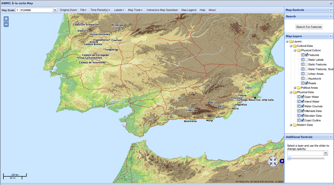
Antiquity À-la-carte brings together the best available scholarly spatial data with an intuitive interface that lets users freely create, save, share, and download maps in a variety of formats. It draws on the latest data published in the Pleiades gazetteer, combining it with historical, cultural, and topographical data produced by the AWMC.
The map on this page showcases some of the AWMC's data for the Iberian Peninsula, including historically accurate coastlines for the area northwest of Cádiz in the Roman period (note especially the now largely silted-in Ligustinus Lacus at the mouth of the Baetis river (modern Guadalquivir).
Clicking on the map will open Antiquity À-la-carte, where you can experiment with customizing the map for your own purposes.